Professional Property Photography – on the Ground and in the Air
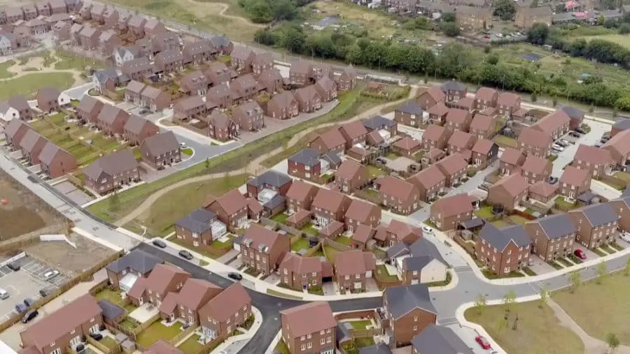
This morning’s trip to the ‘office’ was short which was lovely. Working locally in Sussex, we needed to complete the aerial component of the property photography (we were also carrying out ground level photography) before the store in question was open for business. So it was a bright and early start for us – that’s not unusual actually. Quite a lot of drone photography even takes place at night when you’re talking about thermal imaging – so we’re used to working around the clock.
So we arrived at the location, set up our secure area, completed our preflight checklists and prepared for the flight. The flight preparations are quite lengthy to ensure that we are fully checked, double checked and prepared, have assessed any risk and able to fly safely and securely. The flight time itself can seem quite short in comparison. Everything went perfectly and once all the necessary images were captured, we landed packed away and commenced with our ground level photography. A beautiful little assignment that had us home in time for breakfast with professional property photography images for our clients.

Expert Infrared Inspections for Accurate Thermal Assessments
Need professional thermographic analysis for your project? Our certified experts use the latest infrared technology to deliver precise results. Contact Drone Media Imaging today for expert thermal imaging services.
related posts

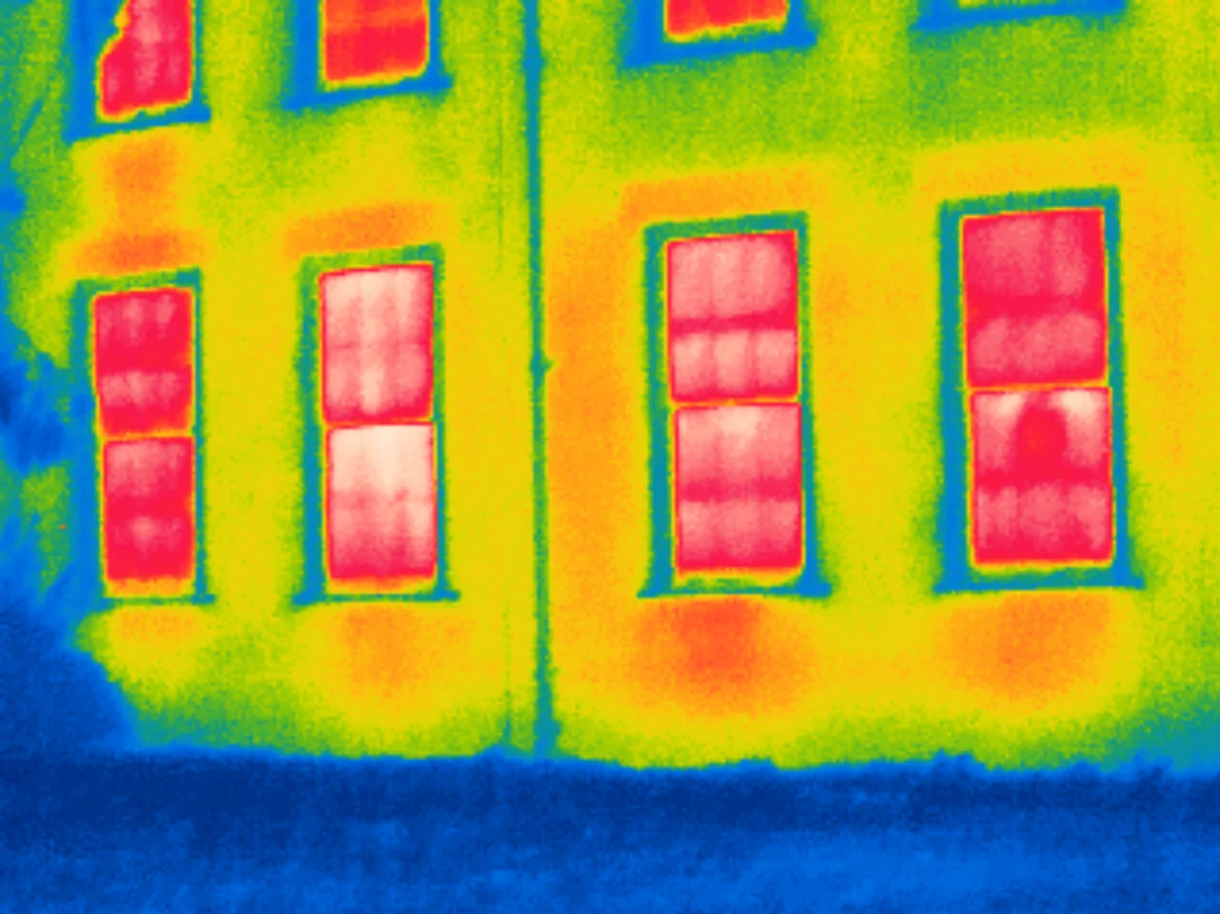
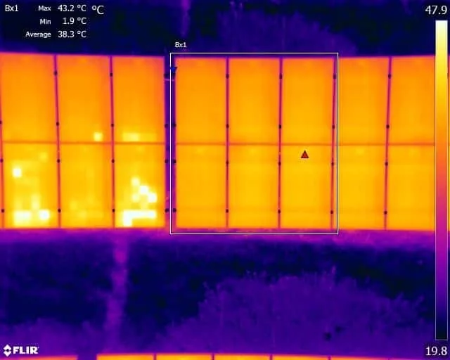
How To Detect A Faulty Solar Panel.? When faults develop with a solar panel the result is that these cells will heat up. This is because the energy generated by the electrons moving around is not flowing through the panel and onto the convertor, and must manifest somehow, it doesn’t can’t just disappear, so the energy becomes heat.