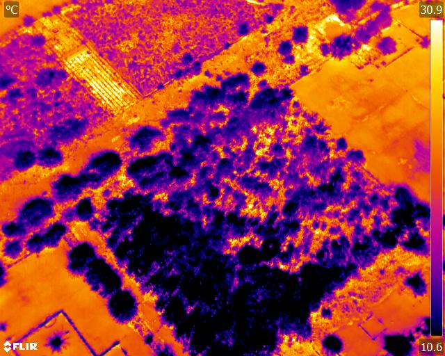
Landfil Hot Spot Characteristics
Whilst each hot spot has its own unique characteristics, conditions and contributing factors, they can be broadly divided according to their depth. A hot spot is referred to as deep when its core is more than five metres below the surface and shallow if it is above this point.
Shallow hot spots are more likely to be spotted when smoke or steam is seen but this presupposes that the hot spot is in an accessible and regularly monitored area. Air ingress can be from prevailing wind at waste flanks or active gas extraction.


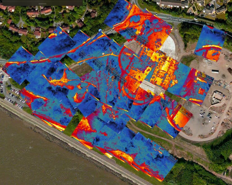
Where hot spots are identified, remedial measures such as excavation, dousing, ponding, subsurface injection systems or the creation of cut off trenches can be applied.
Regular site walkovers can be carried out to examine for unusual settlement patterns, rising smoke or steam, hot to the touch leachate or gas walls or changes in vegetation on restored areas. Where the inspector carried a handheld temperature gauge, heat patterns can also be examined. In reality though, regular and thorough inspection walkovers are not that practical a solution in terms of either time, health and safety or cost. It is also less likely that widespread temperature changes will be spotted from ground level.
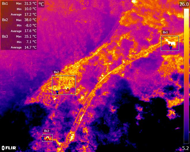
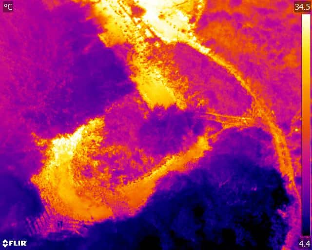
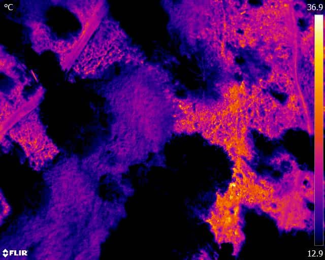
This is where aerial thermographic mapping can provide a cost effect solution. Using drones equipped with state of the art thermal cameras and flown under the correct thermographic conditions, changes to the subsurface temperatures within a solid waste site can be detected and monitored where necessary over time. The resulting images can be used as a tool to pinpoint areas for further ground-based investigation or remedial action.
Whilst drone thermal surveys are undoubtedly more effective at identify shallow hot spots, they can also be used to provide indications of surface heating from deeper hot spots. From here, more detailed investigation from ground-based teams can be used to establish the depth and precise location of the core of the problem.
Routine monitoring of the waste mass from an aerial perspective can provide an efficient means of site inspection for both the presence of hot spots and also any other visible anomalies. Early identification or problems can limit remedial costs and prevent re-emergence.
There have been several waste operators who have looked at employing drone thermal imaging as a tool for monitoring solid waste landfill sites, but they have been unhappy with the results where known hot spots have failed to be identified. However, this is more likely to be due to the conditions under which the thermal survey was undertaken rather than the capabilities of the technology itself.
Drone Media Imaging are ideally placed as qualified Level 2 Thermographers to conduct landfill thermographic surveys under the correct conditions to provide significant and accurate data. Combining our world leading thermal cameras with our drone fleet, advanced training and experience and our enhanced flight permissions, we can tackle projects of all sizes. Thermographic images can be provided alongside standard aerial photography to allow for examination of both and precision problem area identification.

