Survey Grade Photogrammetry Surveying by Drone
The roots of photogrammetry can be traced back to military surveillance and reconnaissance during World War I.
Pilots used advances made in photography coupled with manned flight to obtain image based intelligence from behind enemy lines. Without context, the pictures were worthless, however, these photogrammetry pioneers used local landmarks, landscape characteristics and known ground data to identify the orientation of objects of interest in the shots. These methods would change over subsequent decades as new advanced instruments and techniques became available, from stratospheric U2 planes to sophisticated meteorological satellites, and in recent years, contemporary UAV/drone photogrammetry.
Today’s photogrammetric maps captured by drones are created using sophisticated GIS equipment and software capable of producing surveyor-grade measurements of properties, landscapes & infrastructure. These maps are sufficiently precise to give important insight into actual environmental conditions on the ground and when using Real-Time Kinematic (RTK) corrections are capable of centimetre level accuracy.
There are multiple opportunities when using a drone to capture survey quality imaging data. The list below is only the tip of the iceberg in terms of what Photogrammetry solutions are capable.
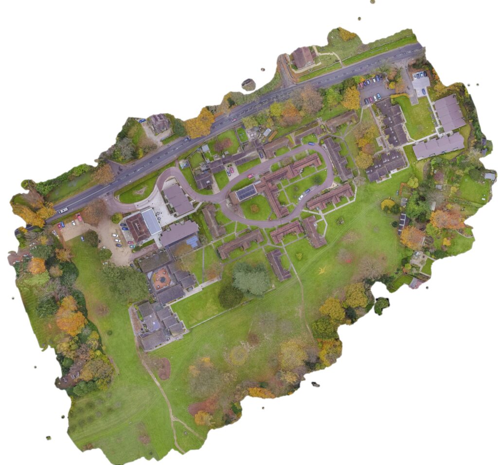
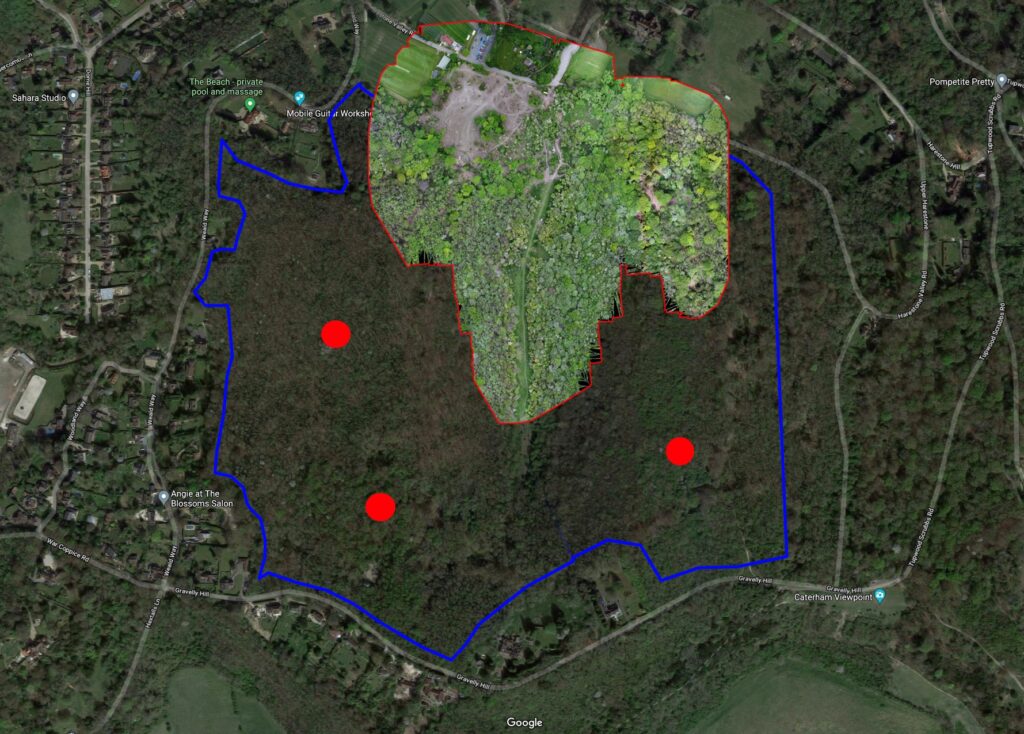
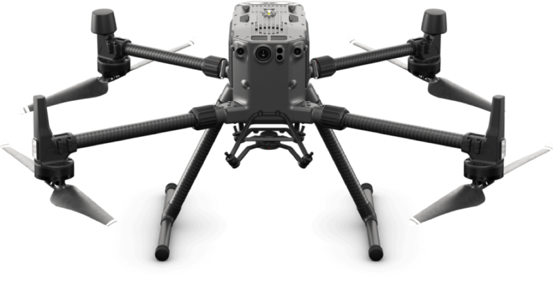
A UAV Drone can be a fast, efficient and cost effective surveying tool to pinpoint GPS positioning on the ground to centimetre level survey grade accuracy.
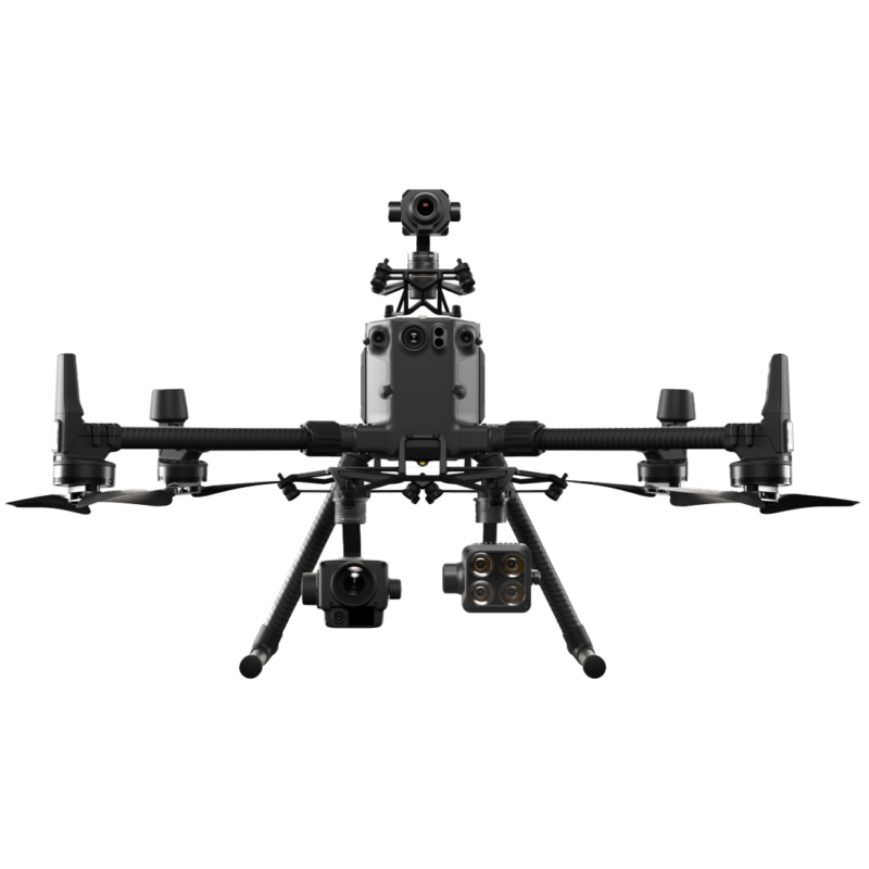
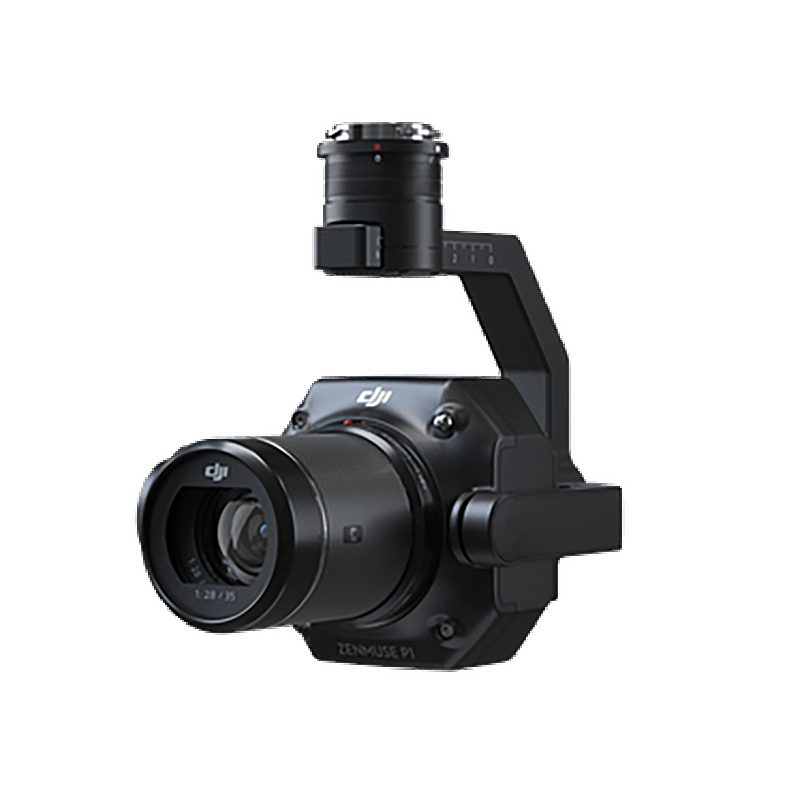
Drone Media Imaging have the expertise and experience to complete survey grade photogrammetry data collection throughout the UK
10m Take off & 20m CAA Flight Permissions
Legally, drones are required to remain a 50m distance from People, Property, Vessels, and Vehicles that are not under the control of the pilot. We, however, have enhanced permissions from the CAA that means we can get as close as 10m, reducing the need to contact and liaise with your neighbours or closing roads to fly near them.
RTK Centimetre Level Accuracy
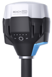
We use professional multi-band RTK GNSS receivers with centimeter precision for drone surveying and mapping. We record each GCP as a point with centimetre precise coordinates, with an 1 cm accuracy achieved on distances up to 60 km in RTK, and 100 km in PPK mode. Our data collected can be used in mapping projects, or imported into GIS or CAD software like AutoCAD, ArcGIS, QGIS, and others.
DRONE PHOTOGRAMMERY MAPPING PROCESS OVERVIEW
1. Explore the site and place GCPs – We determine all features of the landscape and analyse the amount of GCPs required, from five to ten points are required usually.
2. Collect the coordinates of each GCP with the GPS GNSS survey device.
3. Fly the Drone grid auto mission and collect the controlled images needed.
4.Process and import photos and GCP list to mapping software for accurate georeferencing. We use Pix4d primarily but other mapping software as well.
