Aerial Photography and Boundary Disputes
Aerial Photography and Boundary Disputes

The Land Registry defines a property boundary as ‘the invisible line dividing one person’s land from another’s.
It does not have thickness or width and usually, but not always, falls somewhere in or along with a physical boundary feature such as a wall, fence or hedge.’
Problems however can arise where these property divisions drift over time. For example, when a fence is used to replace a hedge, it is easy to see how the boundary line can be altered however unintentionally. Boundary disputes play into our human natural instincts to protect our territory and therefore can be incredibly emotive and divisive amongst the parties involved.
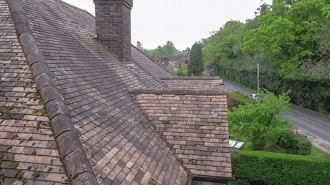
Drones can play a part in resolving disputes before they escalate as they can provide current aerial imagery that can be matched with Land Registry data to provide a clear representation of the position of the ‘red line’.
As boundary disputes can be such an emotive issue, there can be a temptation for the parties involved to look to litigation before mediation. Mediators, however, can make good use of drone technology to provide the maximum amount of information to all parties that can halt court action before it begins.
A combination of drone imagery and Land Registry boundary data can make property lines clear to everyone even if they are not keen map readers. A boundary line overlaid on the current features of a property is non-ambiguous and easy to interpret.
Aerial imagery can even be used to divide up a plot of land for development, therefore, providing clear boundary guidance before construction has even begun. As the old saying goes, prevention is better than cure. The more accurately boundary data can be represented on new developments, the less likely there will be disagreement between neighbours as time passes.
Drone Media Imaging offers a professional drone mapping service over areas of any size and can provide high-resolution images for comparison with Land Registry information. Simply get in touch to discuss your requirements and let new technology play its part in settling old disputes.


Professional Commercial Drone Photography and Video Filming
CAA approved & certified for UAV category 0-20kg daytime and nighttime flights Cert No.: 2565.
Get your Commercial Land Survey Photographed today!
We are certified and approved drone pilots and work throughout the UK and Ireland to provide both aerial and ground based property photography
Expert Infrared Inspections for Accurate Thermal Assessments
Need professional thermographic analysis for your project? Our certified experts use the latest infrared technology to deliver precise results. Contact Drone Media Imaging today for expert thermal imaging services.


