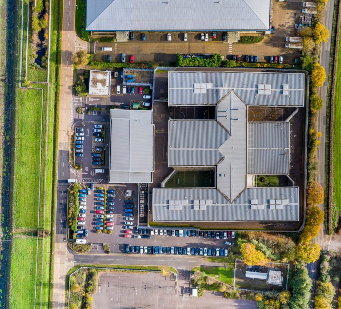
Aerial Photogrammetry

Survey Grade Photogrammetry with DJI M300RTK and DJI P1 Camera

The DJI M300RTK with DJI P1 is a powerful combination that has revolutionized the way professionals conduct aerial surveys and mapping. With advanced features such as precision positioning, enhanced safety, and extended range, the M300RTK sets a new standard in performance and reliability. Paired with the high-resolution imaging capabilities of the DJI P1, professionals can capture detailed and accurate data for a wide range of applications. From construction and agriculture to land surveying and mapping, this groundbreaking combination is transforming industries and unlocking new possibilities.

Survey Grade Photogrammetry Investment with DJI M300RTK and P1 Camera

Drone Media Imaging invests in new cuttin-edge photobrapmmetry survey and inspection equipment with the new DJI M300RTK and P1 Suvery Grade Camera

Go to Top