Featured

Hidden Issues with Thermal Imaging During Building Surveys

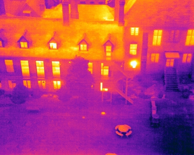
Thermal imaging technology is a powerful tool for building surveys, allowing for the detection of hidden issues that affect a building's efficiency and structural integrity. It can uncover insulation deficiencies, diagnose HVAC system malfunctions, and even detect water leaks and electrical faults. By utilizing thermal imaging, property owners and surveyors can proactively address problems, saving time, money, and preventing further damage. As we move towards smart building diagnostics, thermal imaging is a critical component in ensuring the longevity and sustainability of our built environment.

The Power of Building Thermography Surveys

Unlocking Energy Efficiency, explores the potential of building thermography surveys in identifying energy inefficiencies. It delves into how these surveys can detect thermal leaks and insulation issues, providing a roadmap for energy-saving improvements. This book is a must-read for anyone interested in sustainable building practices and reducing energy consumption.

Providing Drone Inspections Services to the Insurance Industry

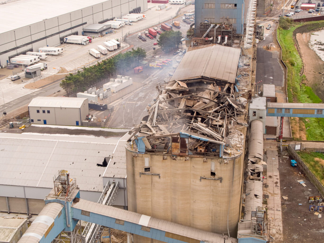
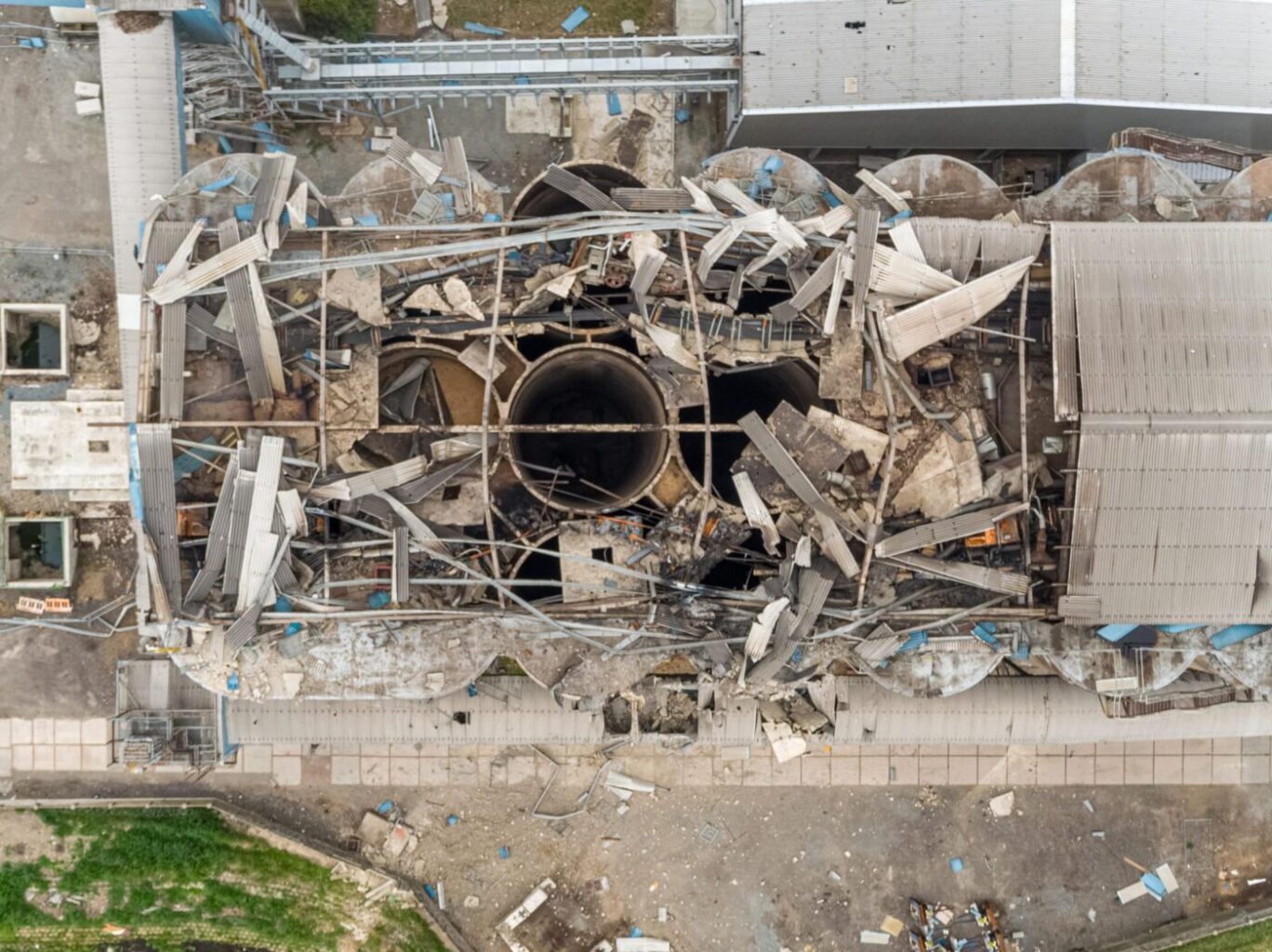
The partnership between drone pilots and insurance loss adjusters is a perfect fit for claims assessment. Drones provide a unique aerial perspective, capturing detailed imagery and data of affected areas. Drone pilots efficiently survey large and hazardous locations, while adjusters evaluate claims and interpret the collected data. This collaboration enhances efficiency, reduces evaluation time, promotes safety, and ultimately benefits policyholders and insurance companies.

Insurance Companies Embracing Drone Technology

Insurance companies can greatly benefit from embracing drone technology, particularly in the areas of claims assessment, risk prevention, and post-disaster response. Drones can quickly and accurately assess damage, provide risk mitigation recommendations, and aid in resource allocation during disasters.

Survey Grade Photogrammetry with DJI M300RTK and DJI P1 Camera

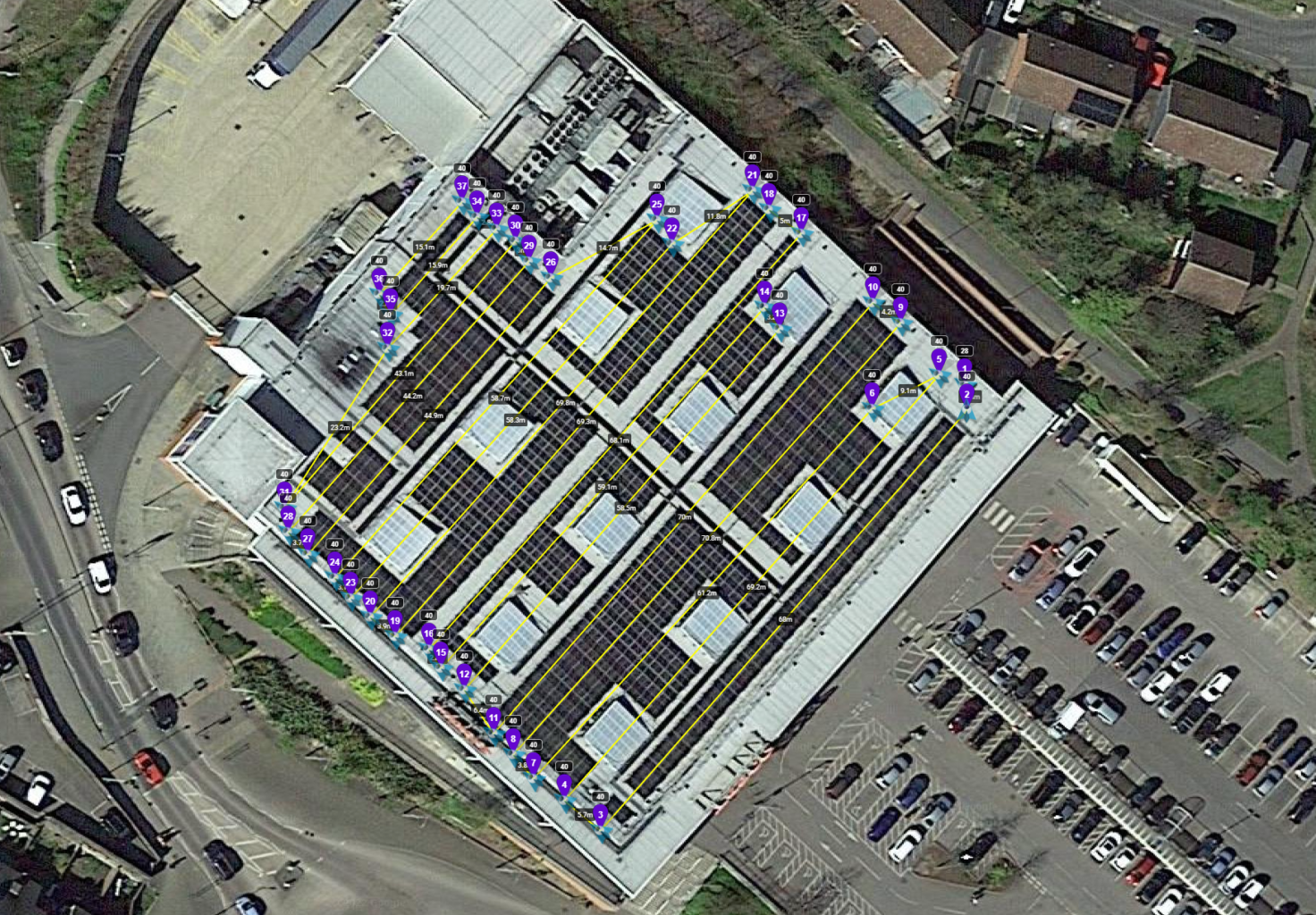
The DJI M300RTK with DJI P1 is a powerful combination that has revolutionized the way professionals conduct aerial surveys and mapping. With advanced features such as precision positioning, enhanced safety, and extended range, the M300RTK sets a new standard in performance and reliability. Paired with the high-resolution imaging capabilities of the DJI P1, professionals can capture detailed and accurate data for a wide range of applications. From construction and agriculture to land surveying and mapping, this groundbreaking combination is transforming industries and unlocking new possibilities.

Go to Top