Drones and Flood Water Management
Drones can prove to be a valuable tool in flood management, an increasing concern in the UK after the spate of flooding across the country in recent years, assisting both with standard and thermal imaging.
UAVs can provide real-time imagery for fast and accurate reactions to a flood situation. Also, each drone flight is tailored to the exact customer requirements so you can be sure that you will receive exactly the information you need rather than a general picture.
Flights can be repeated as often as required to provide comparison pictures or footage over time. A drone can fly above areas that would be difficult or impossible to access on foot, especially during a flood situation. All of this at a fraction of the cost of a piloted aerial survey and without posing risks to ground personnel.
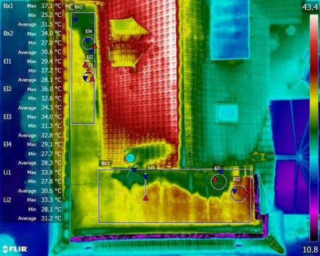
There is always the option of using our state of the art thermal imaging camera to check temperatures, assessing damage, or the serviceability of assets.

Expert Infrared Inspections for Accurate Thermal Assessments
Need professional thermographic analysis for your project? Our certified experts use the latest infrared technology to deliver precise results. Contact Drone Media Imaging today for expert thermal imaging services.