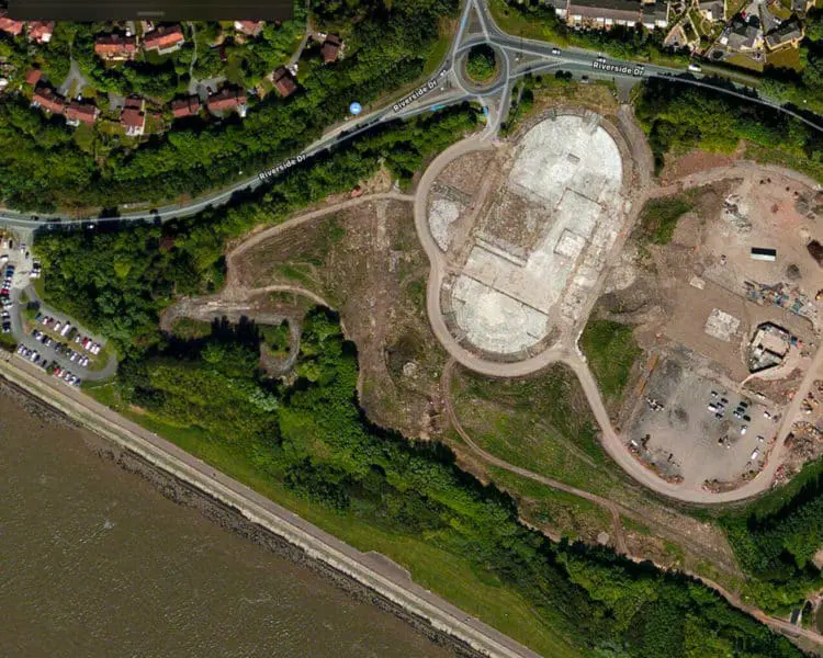
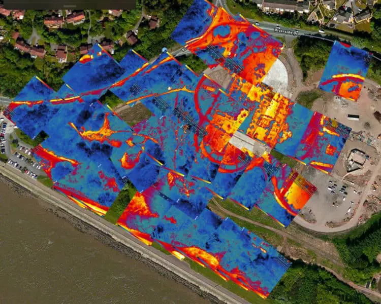
Old 1950 Landfill Site Thermal Imaging Inspection
The build-up of gases such as methane in landfill sites is a common problem for councils & landowners, particularly if the land is identified for development.
Drilling boreholes to relieve the gas build-up, along with ‘flash burning’ the methane is a significant undertaking, so the identification of the heat spots and potential underground fires is critical.
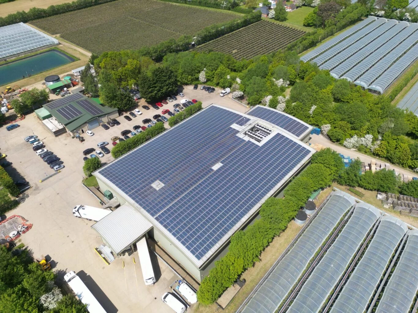
The use of drones to complete the survey and land inspection using thermal imaging payloads is a new technological development and access to all through Drone Media Imaging. Using the latest in drone thermal imaging camera sensors such as the Zenmuse XTr radiometric, we are ready to deploy anywhere in the UK to carry out ground inspections, like the one recently completed at the Festival Gardens in Liverpool.
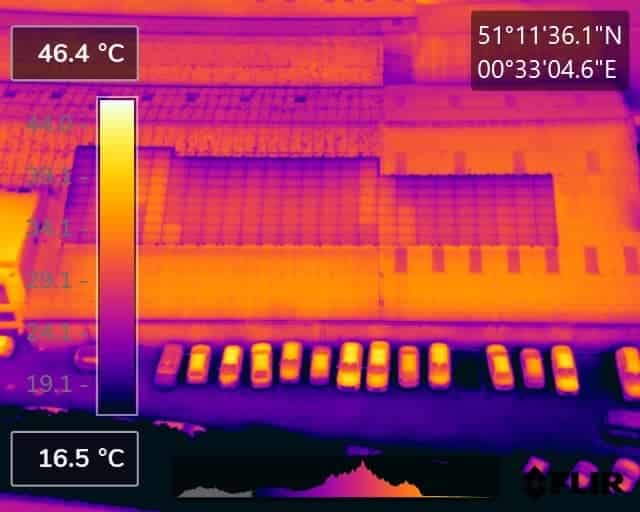
Below is some of the resulting imagery.


Expert Infrared Inspections for Accurate Thermal Assessments
Need professional thermographic analysis for your project? Our certified experts use the latest infrared technology to deliver precise results. Contact Drone Media Imaging today for expert thermal imaging services.
related posts

Ensure your solar panels are spring-ready with these 5 essential steps: 1) Pre-inspection planning, 2) Drone setup and calibration, 3) Aerial thermal imaging scan, 4) Data analysis and interpretation, and 5) Post-inspection maintenance. Utilize thermal imaging drones for efficient, accurate, and safe solar panel inspections this spring.

Pinpointing energy loss in buildings involves identifying hidden insulation defects, thermal bridges, and air leaks. A Level 3 Thermographer employs advanced thermal imaging to ensure precise diagnostics and compliance with energy standards, providing property owners with detailed reports for informed energy efficiency improvements and cost savings.