Revealing the Thermographic Possibilities from the Air
The Use of Thermography in Fire Detection
and Fire Management


DJI XT2 Radiometric 640 30hz
Thermal imaging from the air has never been easier than with a drone and the DJI Zenmuse XT radiometric. By combining DJI’s unmatched expertise in gimbal technology and image transmission with FLIR’s market-leading thermal imaging technology, the Zenmuse XT radiometric is the ultimate solution for rapid and reliable aerial thermal imaging. Capturing thermal data quickly and precisely across broad areas, and recording for study and thermographic reporting.

The Integrated Infrared Camera’s High Thermal and Spatial Resolutions Ensure Success
Due to their high spatial resolution, or a sufficient number of pixels, the use of high-performance infrared cameras for early fire detection systems enables detection of even the tiniest pocket of embers. If the number of pixels is inadequate for the region to be monitored, more infrared cameras can be easily integrated into the system DJI Zenmuse XT radiometric. The sphere of operation of the fire detection system can be further increased while maintaining a constant spatial resolution by putting the infrared camera on a remote-controlled pan-tilt head gimbal.
Apart from meeting the highest spatial resolution requirements, the infrared camera system also optimises the thermal resolution, this combination enables early detection of minute temperature changes or hidden pockets of high temperature sources.
Observation and Investigation: Benefits of Thermography in Industry
Fire Management Services: Grain Store Explosion-Port of Tilbury London
Thermography solutions can be used to monitor fire in buildings as well as open spaces, for example, the detection of fire behaviour.
Drone Media Image were commissioned to work with the Port of Tilbury London and emergency services following a grain store explosion in July 2020. Certified as level 2 thermographers and specialising in aerial thermal imaging specifically, we provided the Port of Tilbury London and the attending emergency services with hourly, daily, and weekly calibrated temperature assessments that demonstrated the evolution of the grain store fire over a 13-month period.
Comprehensive reports, thermal imaging, RGB photography and video imagery were used to present the data to successfully manage the disaster until the successful demolition of the building in late August 2021.
Working With Drone Media Imaging
Regardless of the complexity of your task or project, a Drone Media Imaging thermography services enables you to overcome it swiftly and economically. Our proven UAV systems, enables easy customisation to meet your unique requirements.
Are You Interested in Learning More?
It is not uncommon for tasks to have unique criteria. Consult with our us to discuss your individual application requirements, obtain additional technical information, or learn more about our extra services.
Contact us to discuss your requirements.


Expert Infrared Inspections for Accurate Thermal Assessments
Need professional thermographic analysis for your project? Our certified experts use the latest infrared technology to deliver precise results. Contact Drone Media Imaging today for expert thermal imaging services.
related posts

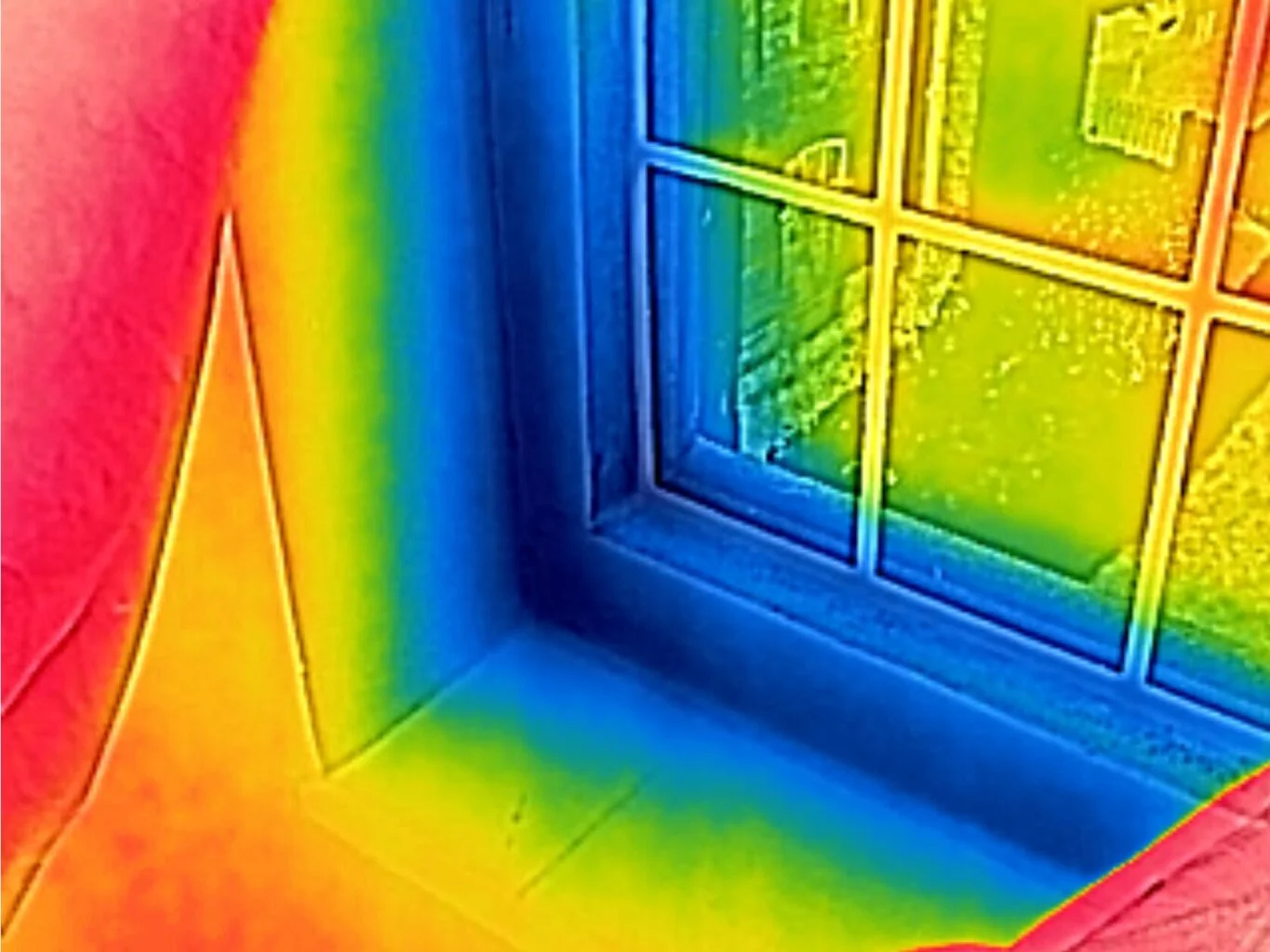
Thermography, a non-invasive technique using infrared imaging, has emerged as a powerful tool in the building industry. It is particularly useful for investigating building air pressure, air flow, and inefficient air leaks. This article explores the application of thermography in these areas, providing valuable insights and practical examples.

The partnership between drone pilots and insurance loss adjusters is a perfect fit for claims assessment. Drones provide a unique aerial perspective, capturing detailed imagery and data of affected areas. Drone pilots efficiently survey large and hazardous locations, while adjusters evaluate claims and interpret the collected data. This collaboration enhances efficiency, reduces evaluation time, promotes safety, and ultimately benefits policyholders and insurance companies.