Roof Inspections with Drone – New Reporting Technology

We’re very excited about some new technology that we have access to that looks to solve the problems of roof inspection and damage assessment from the safety of the ground and using drones or unmanned aerial vehicles.
This new software makes it even easier and quicker to capture the imagery needed with automated flight planning to account for the necessary image overlapping but also to maximise flight efficiency. The images are then compiled into a comprehensive roof report with a 99.4% measurement accuracy providing accurate square footage, roof features, pitch, surface area, and slope, including a 3D roof model where required. The final report can then be provided to a client in the convenience of a PDF format with all of that information neatly packaged for quick and easy analysis.
Expert Infrared Inspections for Accurate Thermal Assessments
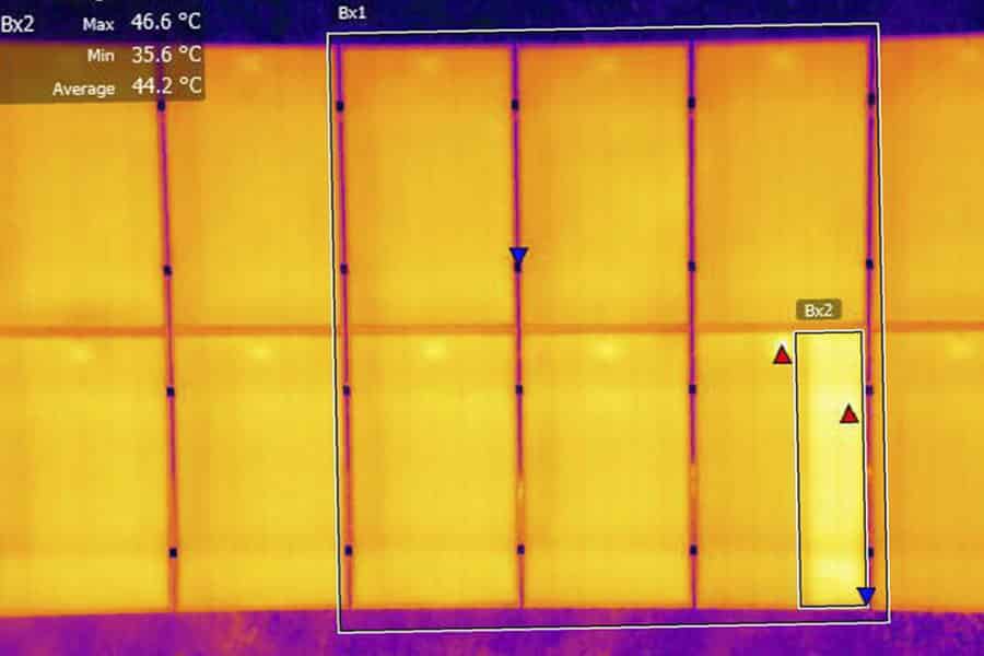
Need professional thermographic analysis for your project? Our certified experts use the latest infrared technology to deliver precise results. Contact Drone Media Imaging today for expert thermal imaging services.
related posts
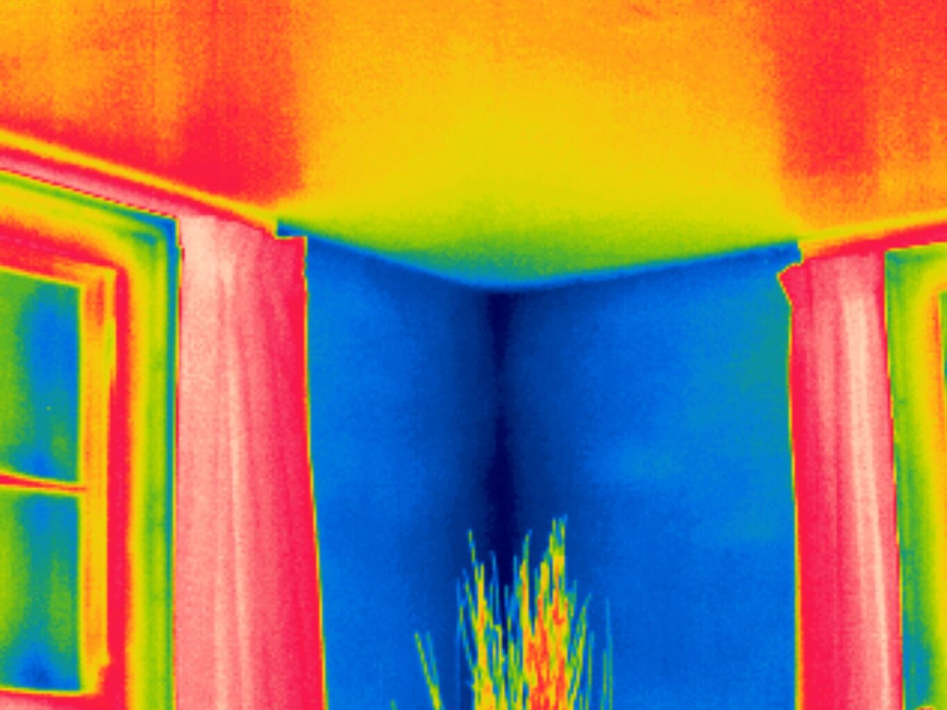
Discover the effects of thermal convection on building room corners with insights from thermal imaging. Uncover hidden insights.


