Survey Grade Photogrammetry Investment with DJI M300RTK and P1 Camera
Drone Media Imaging Enhances Photogrammetry Surveying and Inspection Capabilities by Investing in Cutting-Edge M300RTK and P1 Camera
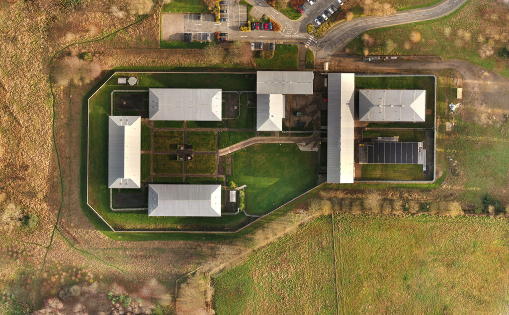
In the ever-evolving field of surveying and mapping, technological advancements have revolutionised the way professionals gather data and create accurate representations of the physical world. Drone Media Imaging, a leading provider of aerial imaging solutions, has recently made a significant investment in state-of-the-art photogrammetry equipment, including the DJI M300RTK drone and the DJI P1 camera.
Introducing the DJI M300RTK: Revolutionising Aerial Surveying and Mapping with Unmatched Precision and Efficiency
The DJI M300RTK is a game-changer in the field of aerial surveying and mapping. With its advanced flight performance, enhanced safety features, and unparalleled precision, this drone sets a new standard for data collection. Equipped with a dual-battery system, the M300RTK offers extended flight times, allowing surveyors to cover larger areas in a single mission.
One of the standout features of the M300RTK is its ability to withstand harsh environmental conditions. With an IP45 rating, it can operate in adverse weather conditions, including rain and dust storms. This durability ensures uninterrupted data collection, even in challenging environments.
The M300RTK also boasts an advanced obstacle avoidance system, which utilises advanced sensors and AI algorithms to detect and avoid obstacles in real-time. This feature not only enhances safety but also allows surveyors to confidently navigate complex terrains and capture data from previously inaccessible areas.
Unveiling the DJI P1 Camera: Unprecedented Image Quality for High-Resolution Survey Grade Photogrammetry and Inspections
Complementing the M300RTK, Drone Media Imaging has also invested in the DJI P1 camera, which offers unparalleled image quality for high-resolution survey-grade photogrammetry and inspections. The P1 camera features a full-frame 45-megapixel sensor, capable of capturing highly detailed images with exceptional clarity and accuracy.
The P1 camera’s large sensor size and advanced imaging capabilities enable surveyors to capture data with incredible precision, resulting in more accurate 3D models and maps. This level of detail is particularly crucial for industries such as construction, infrastructure development, and environmental monitoring, where precise measurements and analysis are essential.
Advantages and Applications: DJI M300RTK with P1 Elevates Surveying Projects
1. Enhanced Efficiency: The combination of the M300RTK and P1 camera significantly reduces the time and resources required for data collection. With the ability to cover larger areas in a single flight and capture high-resolution images, surveyors can complete projects faster and more efficiently.
2. Improved Accuracy: The advanced technology of the M300RTK and P1 camera ensures centermeter level precise data collection, resulting in highly accurate 3D models and maps. This level of accuracy is invaluable for industries that rely on precise measurements, such as land surveying, urban planning, and infrastructure development.
3. Cost-Effective Solutions: By utilising drone technology and cutting-edge photogrammetry equipment, Drone Media Imaging offers cost-effective solutions for surveying projects. Traditional surveying methods often require extensive manpower and resources, whereas drones can cover vast areas quickly and provide accurate data at a fraction of the cost.
4. Diverse Applications: The investment in the M300RTK and P1 camera expands Drone Media Imaging’s capabilities across various industries. From land surveying and mapping to infrastructure inspections and environmental monitoring, the advanced equipment enables the company to cater to a wide range of client needs.
Drone Media Imaging’s investment in the DJI M300RTK drone and DJI P1 camera represents a significant leap forward in the field of surveying and mapping. The unmatched precision, efficiency, and image quality offered by these cutting-edge tools elevate surveying projects to new heights. With enhanced capabilities and cost-effective solutions, Drone Media Imaging is well-positioned to meet the evolving demands of industries that rely on accurate and efficient data collection.


IEC Solar Inspection Services
We are certified thermographers, experienced in solar panel inspection to IEC standards. We can complete both the structured and compliant data capture through to the formal inspection report.
As approved drone pilots we work throughout the UK to provide both aerial and ground based thermography services. Fully insured and certified by the CAA with enhanced permissions for day and night time flights
Photogrammetry Mapping
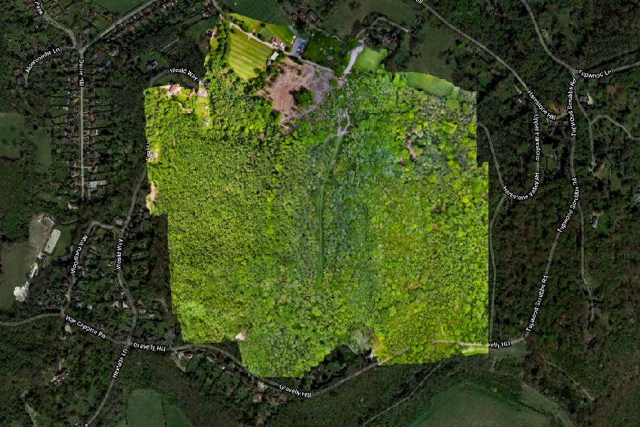
We are certified and approved drone pilots and work throughout the UK to provide photogrammetry, othomosaic, suvery and inspection services. Get in touch with your project needs for a full quotation on pricing.
Expert Infrared Inspections for Accurate Thermal Assessments
Need professional thermographic analysis for your project? Our certified experts use the latest infrared technology to deliver precise results. Contact Drone Media Imaging today for expert thermal imaging services.
related posts
Eliquam purus eu laoreet risus. Divamus vitae massa nibh inyac luctus esta bibendum


