What Is Aerial Thermography and How Does It Work?
What is Thermography?
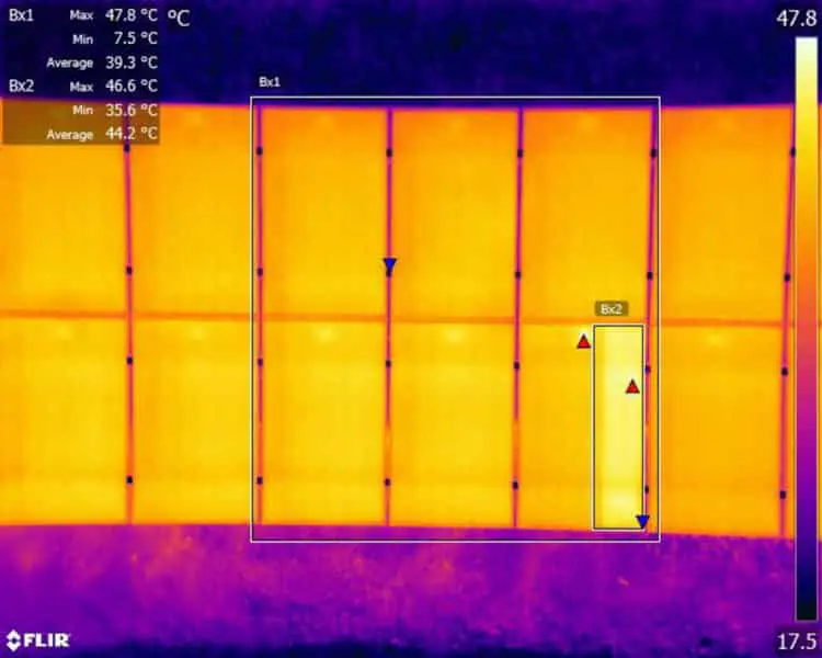
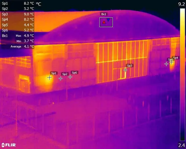
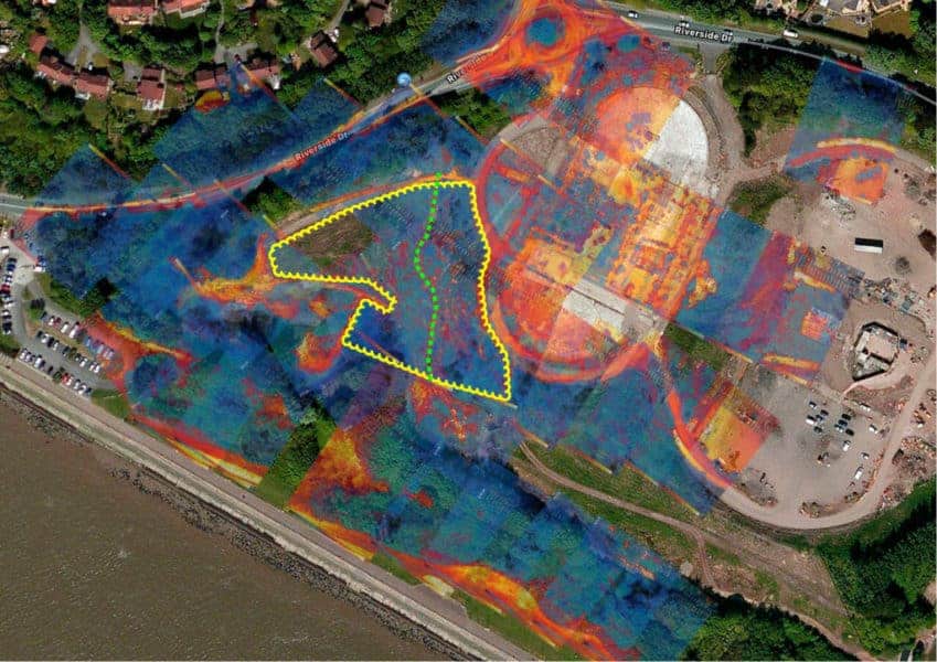
All objects with a temperature above absolute zero give off infrared radiation, and the intensity of the radiation released increases as the temperature of the object rises. A thermal imaging camera is designed to detect this radiation intensity and render the different temperatures recorded into artificial colours so that the human viewer can ‘see’ these temperature differences and values.
Visible light forms only a small part of the electromagnetic spectrum, and the only part we can see. When pointed at an object or area, the sensor on a thermal camera allows the viewer to see the hidden infrared spectrum, which exists at wavelengths between visible light and microwaves.
Ordinary digital cameras, like the human eye, detect visible light as it bounces around on and off surfaces/objects. This visible light is then focused through a lens system onto a surface that translates the light rays/beams into electrical signals and ultimately to form an image. Unlike normal digital cameras, thermographic cameras detect radiation emitted from a surface as heat, not visible light. Heat (infrared or thermal energy) and light are both parts of the electromagnetic spectrum, but a camera that can detect visible light won’t see thermal energy, and vice versa. Thermal cameras capture infrared energy and use the data to create the images we use in thermography.
Thermographic applications for aerial infrared cameras?
After being initially created for military use during the Korean War, thermal imaging cameras have evolved into an important tool in a wide range of sectors. Firefighters use aerial thermal imaging to see through smoke, detect fire hotspots, and perform search and rescue operations in the field. Police agencies employ the technology for various purposes, including surveillance, crime scene investigation, and tracking and apprehending criminals (aerial thermal imaging was used to arrest one of the Boston Marathon bombing suspects who was hiding beneath a tarp on a boat at the time of the attack).
In the commercial aerial UAV world, we can use this technology in several unique ways.
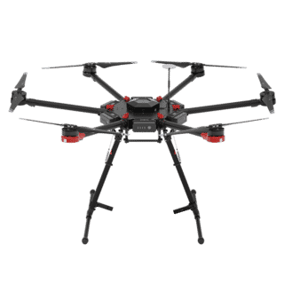
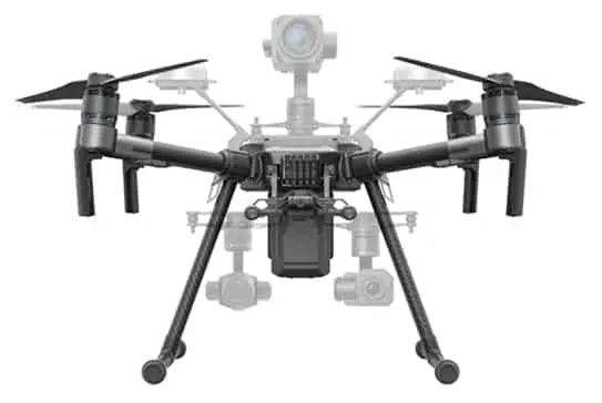
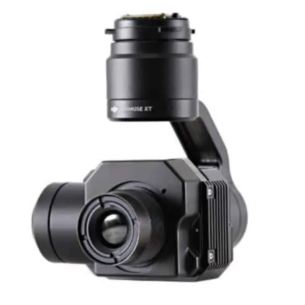

DJI Zenmuse XT
With the DJI Zenmuse XT radiometric, thermal photography from the air has never been more easy, accessible or convenient. The Zenmuse XTr is ideal for quick and dependable airborne thermal imaging missions because it combines DJI’s unrivalled experience in gimbal technology and picture transmission with FLIR’s market-leading thermal imaging technology. It records images fast and precisely across large areas, at radiometric level which affords later manipulation, analysis and detailed reporting.
Why work with Drone Media Imaging for your Thermal Inspection needs?
Drone Media Imaging’s are level 2 thermographers who specialise in aerial thermal deployment. We have extensive experience in all areas of thermographic inspection, roofs, solar panels, and fire detection and management. We deploy using the latest technology and equipment, quickly and easily throughout the UK, taking care of your requirements from mission planning, legal read tape through to data analysis and reporting.
Call To Find Out More
It is not unusual for organisations to have their own set of requirements. Please get in touch and speak with us to discuss your specific requirements, receive further technical information, or find out more about our services.
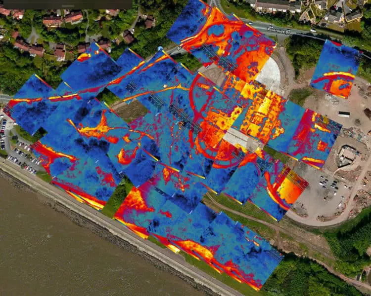
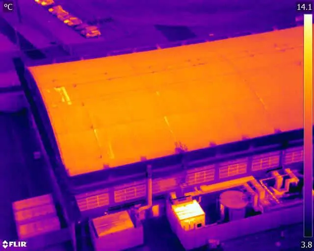
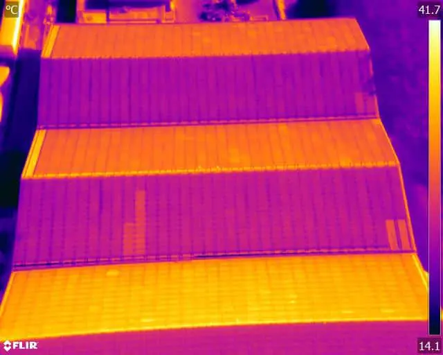
Aerial Thermography Specialists - Get in touch today!
We are certified and approved drone pilots and work throughout the UK to provide both aerial and ground based photography, video/filming and thermography services. Fully insured and certified by the CAA with enhanced permissions for day and night time flights
Expert Infrared Inspections for Accurate Thermal Assessments
Need professional thermographic analysis for your project? Our certified experts use the latest infrared technology to deliver precise results. Contact Drone Media Imaging today for expert thermal imaging services.
related posts
Thermography, also known as thermal imaging, is a powerful tool that can be used to detect and analyze temperature variations in buildings. It has become increasingly popular in the field of energy efficiency as it allows for the identification of cold thermal air bridges and reverse chimney effects. By utilising thermography, building owners and energy efficiency professionals can take proactive measures to improve the energy performance and comfort of buildings.


